
For fast walkers, this plan pushes the first day on to Poiso, then links Pico do Areeiro and the PR1 to Pico Ruivo. The third day takes you from Pico Ruivo to the Caramujo camping zone via Encumeada and the Levada do Norte tunnels, with more than 1,600 m of descent.
The fourth day crosses the whole Paul da Serra to Fanal, and the last one descends gently to the ocean. You need to be used to 8- to 9-hour days carrying a camping pack.
Day-by-day plan
| Day | Leg | Distance | Ascent | Descent | Walking time | Overnight |
|---|---|---|---|---|---|---|
| Poço do Gil → Poiso The Chão das Feiteiras camping zone is 1.6 km before Poiso. | 26.2 km | 1,900 m | 730 m | 9h30 – 11h | Chão das Feiteiras and Poiso | |
| Poiso → Pico Ruivo | 11.8 km | 820 m | 440 m | 4h15 – 5h | Pico Ruivo | |
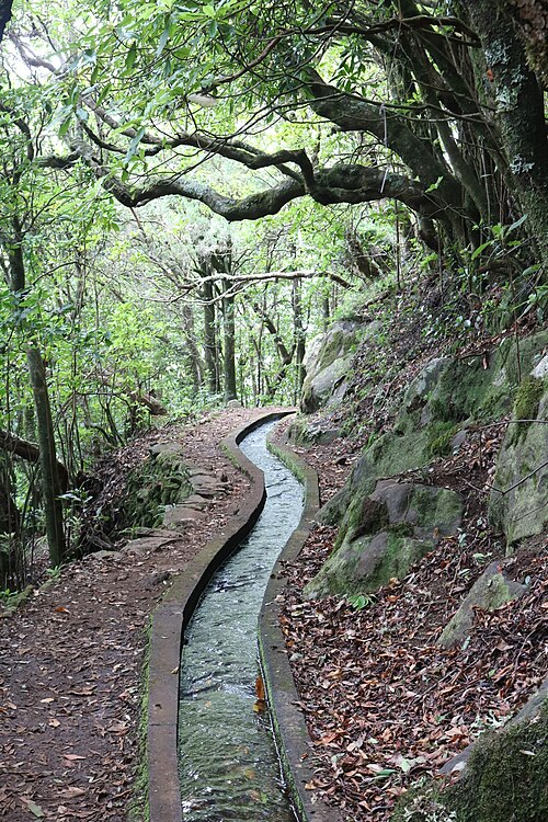
| Pico Ruivo → Caramujo Via Encumeada and the Levada do Norte tunnels. | 18.2 km | 1,380 m | 1,890 m | 9h – 10h45 | Bica da Cana, Estanquinhos and Fontes Ruivas | |
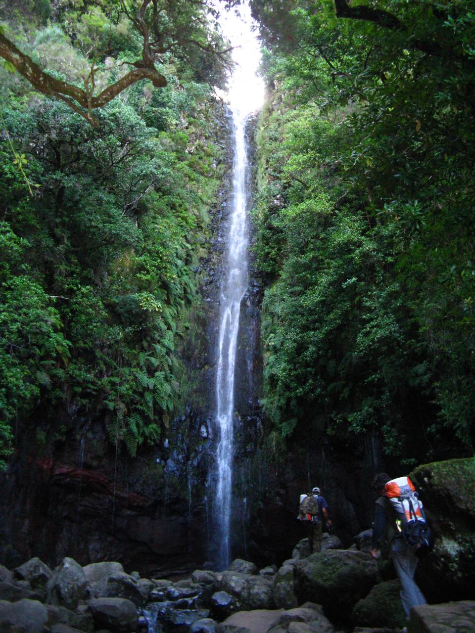
| Caramujo → Fanal Via Bica da Cana, Fontes Ruivas, the Paul da Serra and 25 Fontes. | 23.4 km | 740 m | 850 m | 6h45 – 8h | Fanal | |
| Fanal → Ribeira da Janela | 10.6 km | 130 m | 1,250 m | 3h30 – 4h15 | Ribeira da Janela | |
| Total | 90 km | 4,970 m | 5,160 m | |||
Distances and ascent calculated on the waymarked main route; “≈” marks a day on a variant (estimated values). Walking times according to the DIN 33466 standard, without breaks.
The itinerary on the map
one colour per dayD1overnight stopvariants
Build your own day-by-day plan, then export it as a GPX file.
Customise this itineraryTips for this itinerary
- The third day descends more than 1,600 m: make sure your knees are ready, and poles are recommended.
- Set off at dawn on the first day: the final climb to Poiso is long.
The stages in detail
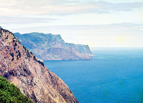 1
Poço do Gil Chão das Feiteiras
0 m250 m500 m750 m1,000 m1,250 m1,500 m0 km5 km10 km15 km20 km
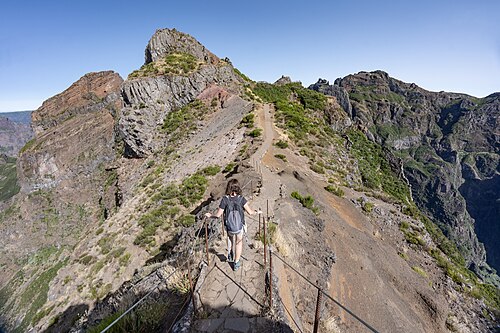 2
Chão das Feiteiras Pico Ruivo
1,000 m1,250 m1,500 m1,750 m2,000 m0 km5 km10 km
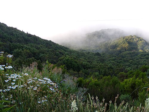 3
Pico Ruivo Encumeada
750 m1,000 m1,250 m1,500 m1,750 m2,000 m0 km2 km4 km6 km8 km
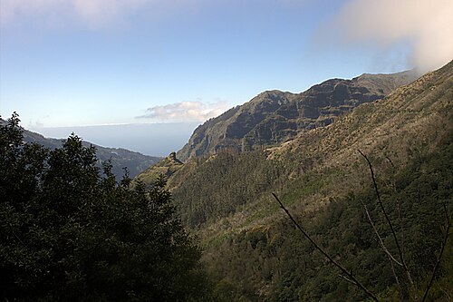 4
Encumeada Fontes Ruivas
750 m1,000 m1,250 m1,500 m1,750 m0 km5 km10 km
 5
Fontes Ruivas Fanal
750 m1,000 m1,250 m1,500 m1,750 m0 km5 km10 km15 km
 6
Fanal Ribeira da Janela
0 m250 m500 m750 m1,000 m1,250 m0 km5 km10 km