750 m1,000 m1,250 m1,500 m1,750 m0 km2 km4 km6 km8 km10 km12 km14 km16 kmFontes Ruivas 1,510 m
Elevation profile: from 972 m to 1,513 m over 17.3 km.
Waypoint
Altitude
Km
Fontes Ruivas
1,510 m
0 km
Paul da Serra
1,420 m
4.3 km
25 Fontes
990 m
7.7 km
Louro da Gota
1,300 m
9.8 km
Fanal
1,135 m
17.3 km
The route
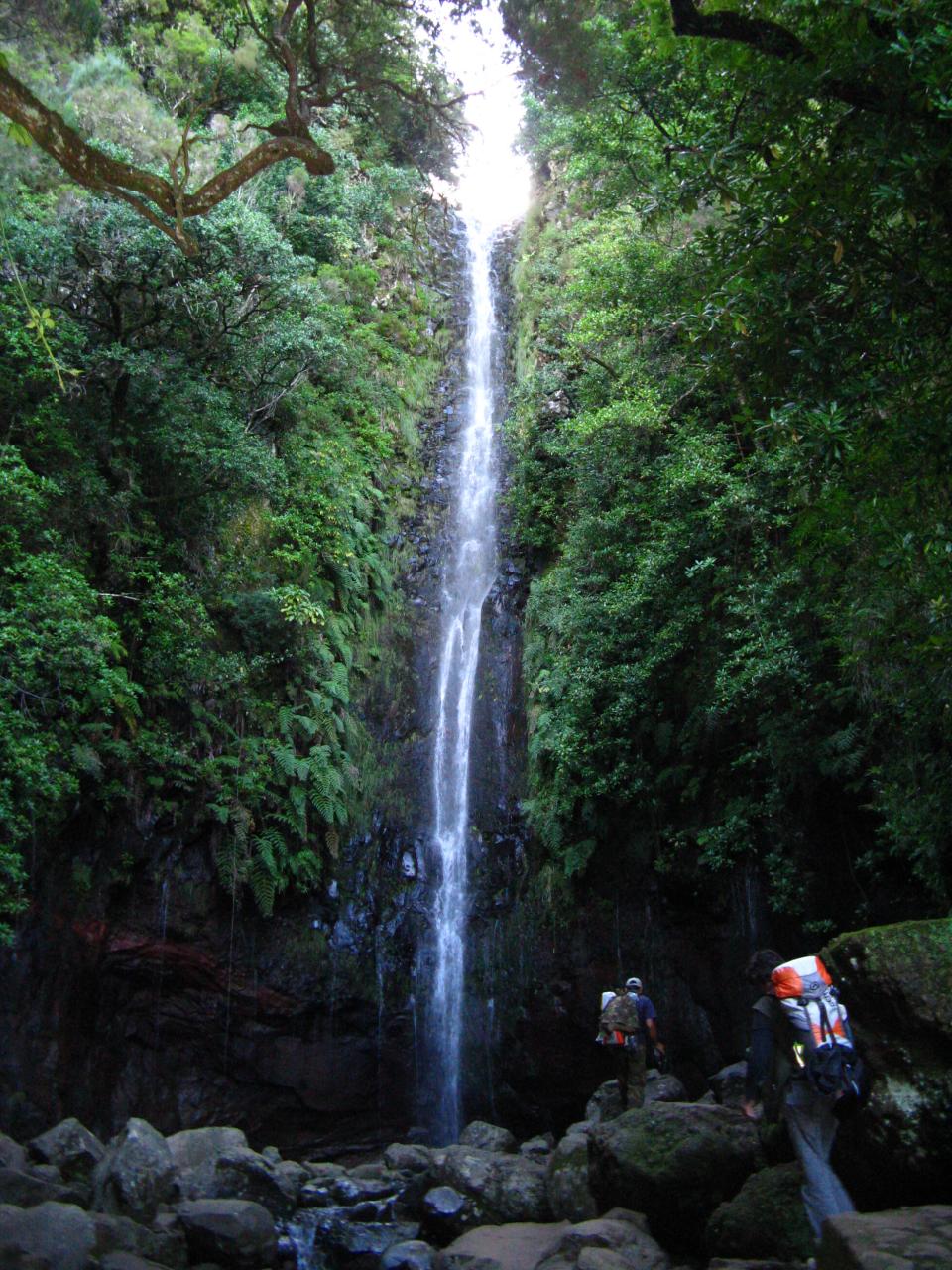
The stage crosses the Paul da Serra, Madeira's only large plateau, a windswept upland moor where fog can roll in within minutes. It then plunges down the Vereda do Pico Fernandes (PR6.5) to 25 Fontes, a cirque of springs and waterfalls in the heart of the laurel forest.
The crossing does not follow the Levada das 25 Fontes (PR6): it climbs back up the Vereda da Palha Carga (PR13.1) to Louro da Gota, then runs along the edge of the plateau on the Vereda do Fanal (PR13). 25 Fontes and the Levada do Risco can be visited as an out-and-back from Rabaçal, as a variant.
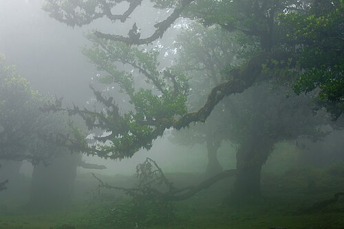
Arrival at Fanal (1,135 m), a meadow dotted with centuries-old til trees (laurel forest of Ocotea foetens), particularly magical in the evening mist. The camping zone is on the edge of the forest.
Practical tips
In fog, stay on the waymarked path: the Paul da Serra plateau is vast and has no landmarks.
The PR6 to 25 Fontes is one-way (out along the levada, back on the bypass path): do not walk it in the wrong direction.
Fanal is very busy during the day: arrive in the late afternoon to enjoy the site in peace.
Water points and tricky sections
6 water points listed on this stage. Springs can run dry in late summer: ask in the cafés along the route and treat the water if in doubt.
Km
Point
Type
Altitude
3 km
Fontaine
Water point
1,430 m
3.5 km
Fontaine
Water point
1,423 m
9.3 km
Robinet
Water point
1,288 m
13.3 km
Robinet
Water point
1,237 m
14 km
Robinet
Water point
1,188 m
17 km
Fontaine
Water point
1,156 m
Source: OpenStreetMap (ODbL), points less than 150 m from the trail. Fountains and springs are not tested: treat or filter the water.