
B&Boff route
430 m
Casas de Campo do Pomar
Santana, Sítio do Lombo do Curral 54-56
Small group of rural-tourism country cottages in a large garden, in the Lombo do Curral neighbourhood, about 1 km from…
Stage 2 of 6 · Eastern section
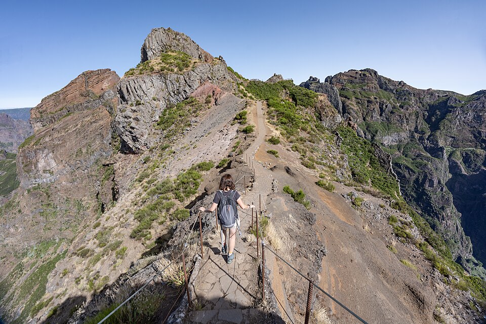
The queen stage: Pico do Areeiro, then the famous PR1 ridge to Pico Ruivo, the roof of Madeira.
| Waypoint | Altitude | Km |
|---|---|---|
| Chão das Feiteiras | 1,230 m | 0 km |
| Poiso | 1,395 m | 1.6 km |
| Pico do Areeiro | 1,818 m | 8.3 km |
| Miradouro da Pedra Rija | 1,630 m | 10.1 km |
| Pico Ruivo (refuge) | 1,790 m | 13.4 km |
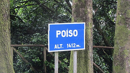
After the Poiso pass (1,395 m, restaurant and bus stop), a long climb leads to Pico do Areeiro (1,818 m), the island's third-highest peak, where there is a café (the former pousada on the summit no longer lets rooms). This is where the PR1 Vereda do Areeiro begins, the most famous trail on Madeira.
For 6 km, the PR1 follows the crest of the central massif: steps cut into the rock, balcony paths above the valleys and tunnels dug through the tuff, where a head torch comes in handy. After the Miradouro da Pedra Rija, it is one-way towards Pico Ruivo: this is why the crossing has to be walked from east to west. The eastern variant via Pico das Torres remains closed; you go through the tunnels.
You reach the Pico Ruivo hut (Casa de Abrigo), which sells drinks and snacks and closes at around 7 pm, and the small camping zone next to it (1,790 m). For a bed, the Mountain Spot Lodge at Achada do Teixeira is 2.8 km away via the PR1.2. The summit, at 1,862 m, is the highest point on Madeira: climb it at sunset or sunrise, often above a sea of clouds.
2 water points listed on this stage and 3 tricky sections (levada tunnels: head torch). Springs can run dry in late summer: ask in the cafés along the route and treat the water if in doubt.
| Km | Point | Type | Altitude |
|---|---|---|---|
| 1.3 km | Fontaine | Water point | 1,384 m |
| 6.3 km | Source · Madre da Levada do Barreiro | Water point | 1,572 m |
| 10.2 km | Tunnel Vereda do Areeiro (≈ 90 m) : lampe frontale | Tricky section | 1,623 m |
| 10.7 km | Tunnel Vereda do Areeiro (≈ 120 m) : lampe frontale | Tricky section | 1,659 m |
| 11.2 km | Tunnel Vereda do Areeiro (≈ 170 m) : lampe frontale | Tricky section | 1,714 m |
Source: OpenStreetMap (ODbL), points less than 150 m from the trail. Fountains and springs are not tested: treat or filter the water.
Accommodation along the stage, at the finish or on its variants, in walking order.
430 m
Santana, Sítio do Lombo do Curral 54-56
Small group of rural-tourism country cottages in a large garden, in the Lombo do Curral neighbourhood, about 1 km from…
385 m
Santana, Rua Tenente Domingos Cardoso (Barreiro)
Public youth hostel run by the Region, in the town of Santana: the cheapest accommodation in the area, with…
435 m
Santana, Avenida Manuel Marques da Trindade 42 (centre)
3-star hotel with 50 rooms right in the centre of Santana, with a restaurant, indoor pool and spa. The most convenient…
265 m
Santana, Achada do Gramacho, Estrada da Quinta do Furão (clifftop)
4-star hotel among vineyards, on top of a north-coast cliff, about 2 km from the centre of Santana. It is far from the…
1,290 m
Terreiros, above Camacha (tarmac road) · Madeira Crossing km 21.7
High-altitude clearing reachable by road, about 1.5 km as the crow flies south of the Levada do Furado section of the…
1,230 m
Chão das Feiteiras, plateau north of Poiso (dirt track) · Madeira Crossing km 24.4
Grassy plateau surrounded by cedars, right by the route at the end of the climb from the Levada do Furado. It is the…
1,355 m
Cruzes de Baixo, above Camacha (tarmac road) · Madeira Crossing km 25.1
Zone with no facilities (apart from a car park) by the road, about 850 m south-east of the route between Chão das…
1,125 m
Carreiras, Estrada das Carreiras above Camacha (tarmac road)
Forest area reachable by car, about 2 km south of Poiso and the route. No facilities apart from a car park according…
1,300 m
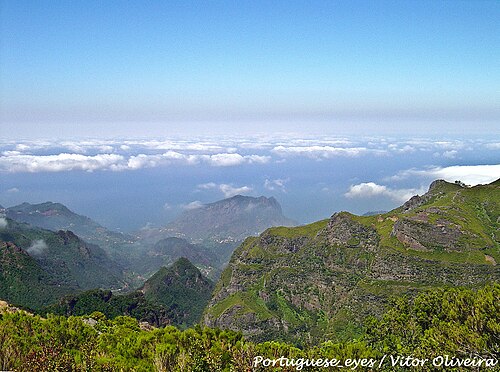
©SurroundingsMontado do Pereiro, near the north gate, on the ER103 south of Poiso · Madeira Crossing km 26.2
IFCN forest house, rented as a whole (8 people maximum), in the Montado do Pereiro park, about 600 m south of Poiso…
1,395 m
©Poiso, junction of the ER103 and ER202 roads · Madeira Crossing km 26.2
Roadside zone at the Poiso pass, on the route, about 1.5 km after Chão das Feiteiras and at the foot of the climb to…
1,200 m
Parque Ecológico do Funchal, Estrada Regional 103 n.º 259 (between Poiso and Monte) · Madeira Crossing km 26.9
Nine small eco-shelters in the Parque Ecológico do Funchal, by the ER103, about 1.4 km south-west of Poiso. They are…
925 m
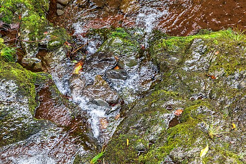
©Ribeiro Frio, forest park (access on foot) · Madeira Crossing km 24
Small zone reachable only on foot near the hamlet of Ribeiro Frio, about 700 m from the route. The hamlet has…
Ribeiro Frio (Entre Águas), on the ER103 · Madeira Crossing km 24.2
Small country cottages by the road in the hamlet of Ribeiro Frio, about 500 m from the route. They lie between the…
900 m
Parque Florestal do Pico das Pedras, next to the Polícia Florestal station (ER218 towards Achada do Teixeira)
IFCN forest house rented as a whole (10 people maximum), in the Pico das Pedras forest park, on the road from Santana…
895 m
Parque Florestal do Pico das Pedras, ER218 road Santana – Achada do Teixeira
Forest park on the road from Santana to Achada do Teixeira, about 4.5 km as the crow flies from the route. An option…
1,592 m
Achada do Teixeira, car park at the end of the ER218, start of the PR1.2
Lodge at the Achada do Teixeira car park, at the start of the PR1.2: 2.8 km of trail up to the Pico Ruivo hut. Handy…
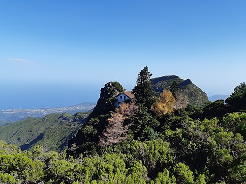
1,760 m
©Below the summit of Pico Ruivo, junction of the PR1 / PR1.1 / PR1.2 / PR1.3 · Madeira Crossing km 37.7
Stone mountain hut, renovated and reopened in August 2019, a few minutes below the summit, at the trail junction. Its…
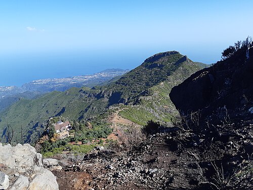
1,790 m
©Pico Ruivo, near the Casa de Abrigo (access on foot only) · Madeira Crossing km 38
Camping zone on the ridge, at the junction of the PR1, PR1.1, PR1.2 and PR1.3 trails, a stone's throw from the hut and…