
This version splits the western half into four short days: a night at Caramujo after the Levada do Norte tunnels, then at Ribeira do Alecrim, a stone's throw from Rabaçal, which leaves time to walk the 25 Fontes and Levada do Risco loop.
The rest of the route reaches Fanal via the PR13, then the ocean via the Levada dos Cedros.
Day-by-day plan
| Day | Leg | Distance | Ascent | Descent | Walking time | Overnight |
|---|---|---|---|---|---|---|
| Encumeada → Caramujo Levada do Norte tunnels: head torch. | 8.4 km | 1,020 m | 750 m | 5h – 6h | Bica da Cana, Estanquinhos and Fontes Ruivas | |
| Caramujo → Ribeira do Alecrim Ribeira do Alecrim camping zone 0.8 km from the route. | 11.9 km | 330 m | 200 m | 3h15 – 3h45 | Rabaçal and Ribeira do Alecrim | |
| Ribeira do Alecrim → Fanal Via 25 Fontes and the PR13. | 11.5 km | 410 m | 660 m | 3h30 – 4h15 | Fanal | |
| Fanal → Ribeira da Janela | 10.6 km | 130 m | 1,250 m | 3h30 – 4h15 | Ribeira da Janela | |
| Total | 42 km | 1,890 m | 2,860 m | |||
Distances and ascent calculated on the waymarked main route; “≈” marks a day on a variant (estimated values). Walking times according to the DIN 33466 standard, without breaks.
The itinerary on the map
one colour per dayD1overnight stoprest of the Madeira Crossingvariants
Build your own day-by-day plan, then export it as a GPX file.
Customise this itineraryTips for this itinerary
- The PR6 to 25 Fontes is one-way: out along the levada, back on the bypass path.
- Fanal is best visited in the evening or early morning, when the site is quiet.
The stages in detail
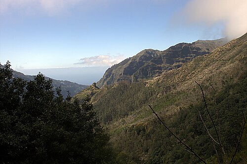 4
Encumeada Fontes Ruivas
750 m1,000 m1,250 m1,500 m1,750 m0 km5 km10 km
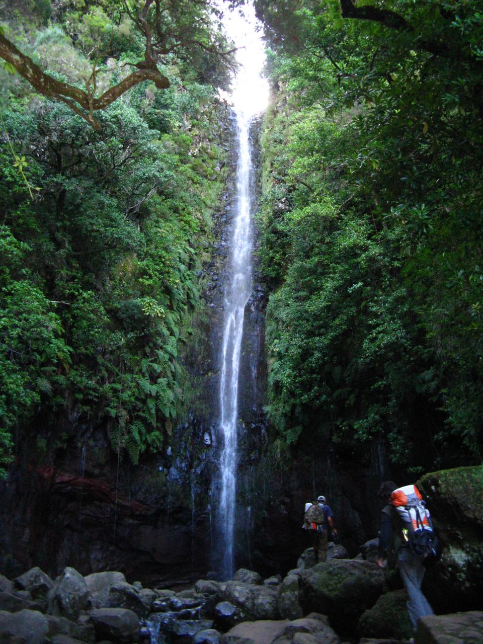 5
Fontes Ruivas Fanal
750 m1,000 m1,250 m1,500 m1,750 m0 km5 km10 km15 km
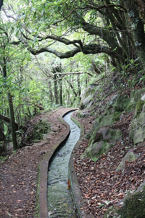 6
Fanal Ribeira da Janela
0 m250 m500 m750 m1,000 m1,250 m0 km5 km10 km