750 m1,000 m1,250 m1,500 m1,750 m0 km2 km4 km6 km8 km10 km12 km14 kmBica da Cana 1,560 m
Elevation profile: from 963 m to 1,585 m over 14.6 km.
Waypoint
Altitude
Km
Boca da Encumeada
1,007 m
0 km
Folhadal
1,000 m
2.2 km
Caramujo
1,255 m
8.2 km
Bica da Cana
1,560 m
10.6 km
Fontes Ruivas
1,510 m
14.6 km
The route
From Encumeada, the crossing follows the PR17 Caminho do Pináculo e Folhadal in reverse. It first runs along the Levada do Norte and its tunnels, two of them several hundred meters long and sometimes flooded ankle-deep: a headlamp is essential.
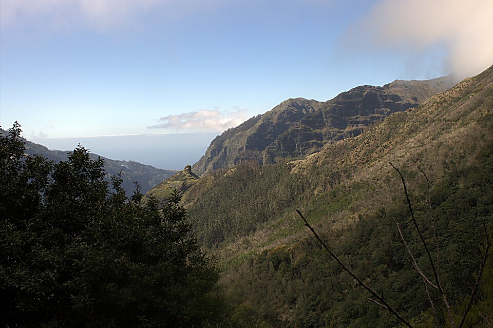
Beyond, the path crosses the Folhadal forest, one of the finest laurel forests on the island, dotted with waterfalls, then climbs to the Caramujo camping zone (1,255 m) and the Bica da Cana viewpoint (1,560 m). The PR17 is only open between Encumeada and Bica da Cana, which is exactly the section used by the crossing.
A link path built by the IFCN then leads to the Estanquinhos forest house and the Fontes Ruivas camping zone (1,510 m), on the edge of the Paul da Serra plateau. Several camping zones line the stage: you can cut it short at Caramujo or Bica da Cana.
Practical tips
A headlamp is effectively compulsory for the Levada do Norte tunnels, as are shoes that can cope with water.
Book the PR17 on SIMplifica (€4.50, or the €9 day rate if you walk several PR trails).
The plateau is often in fog: an offline GPX track stops you taking the wrong path at Bica da Cana.
No water at Caramujo, Estanquinhos or Fontes Ruivas according to the IFCN pages: fill your bottles at Bica da Cana, the only equipped camping zone on the stage.
Water points and tricky sections
3 water points listed on this stage and 3 tricky sections (levada tunnels: headlamp). Springs can run dry in late summer: ask in the cafés along the route and treat the water if in doubt.
Km
Point
Type
Altitude
1 km
Tunnel Levada do Norte (≈ 530 m) : lampe frontale
Tricky section
1,042 m
2.5 km
Tunnel Levada do Norte (≈ 860 m) : lampe frontale
Tricky section
1,087 m
5.7 km
Tunnel Levada da Ribeira do Inferno (≈ 50 m) : lampe frontale
Tricky section
1,164 m
13 km
Robinet
Water point
1,576 m
13.2 km
Fontaine
Water point
1,583 m
14.5 km
Fontaine
Water point
1,514 m
Source: OpenStreetMap (ODbL), points less than 150 m from the trail. Fountains and springs are not tested: treat or filter the water.
Stage map
Where to stay on stage 4?
Accommodation along the stage, at the finish or on its variants, in walking order.