
B&Boff route
20 m
Casas do Baleeiro – Whaler's Houses
Caniçal, Rua de São Sebastião 20 (village center)
Five renovated former whalers' cottages (Alojamento Local no. 113178/AL) right in the center of Caniçal, near…
Stage 1 of 6 · Eastern section
From the cliffs of the north coast to the laurel forest: Boca do Risco, the Larano cliff path, Portela and then the long climb to the high plateaus.
| Waypoint | Altitude | Km |
|---|---|---|
| Poço do Gil | 215 m | 0 km |
| Boca do Risco | 360 m | 4.7 km |
| Portela | 620 m | 14.6 km |
| Levada do Furado | 850 m | 20.4 km |
| Chão das Feiteiras | 1,230 m | 24.6 km |
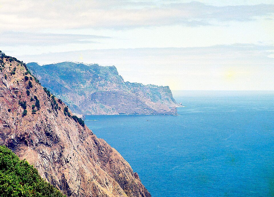
The Madeira Crossing does not start in the village of Caniçal but at Poço do Gil, in the municipality of Machico, near the western entrance of the Caniçal tunnel. A path zigzags up to Boca do Risco (360 m), a pass open to the ocean where the whole north coast suddenly comes into view.
Then comes the Vereda do Larano, one of the finest trails on the island: a cliff path cut into the rock face, high above the sea, all the way to the heights of Larano. The route then climbs the Vereda das Funduras (PR5), through cool forest, to the Portela viewpoint (about 620 m), the last real place to stock up for the day.
After the Lamaceiros forest station, the crossing follows the Levada do Furado (PR10), an almost flat irrigation channel through the World Heritage-listed laurel forest, then tackles a steep climb to the Chão das Feiteiras camping zone (1,230 m), a stone's throw from Poiso.
Current closure: the PR10 Levada do Furado is closed as of our last check (official IFCN list of November 9, 2026), after part of the path collapsed. No official detour has been published: check with the IFCN before setting off and, if it is still closed, take a taxi from Portela to Poiso.
3 water points listed on this stage and 1 tricky section (levada tunnels: headlamp). Springs can run dry in late summer: ask in the cafés along the route and treat the water if in doubt.
| Km | Point | Type | Altitude |
|---|---|---|---|
| 0 km | Fontaine · Fontanário do Paraíso | Water point | 223 m |
| 2.9 km | Robinet | Water point | 205 m |
| 14.5 km | Fontaine | Water point | 590 m |
| 17.9 km | Tunnel Levada do Furado (≈ 60 m) : lampe frontale | Tricky section | 867 m |
Source: OpenStreetMap (ODbL), points less than 150 m from the trail. Fountains and springs are not tested: treat or filter the water.
Accommodation along the stage, at the finish or on its variants, in walking order.
20 m
Caniçal, Rua de São Sebastião 20 (village center)
Five renovated former whalers' cottages (Alojamento Local no. 113178/AL) right in the center of Caniçal, near…
20 m
Caniçal, Sítio da Piedade (site of the former Quinta do Lorde, eastern tip)
Large 5-star all-inclusive resort (366 rooms) built on the site of the former Quinta do Lorde, at the eastern tip of…
105 m
Caniçal, Estrada de São Lourenço 115 (Cerca neighborhood, upper part of the village)
Small guesthouse with nine units, each with a kitchenette, on the western heights of Caniçal, about 1.9 km as the crow…
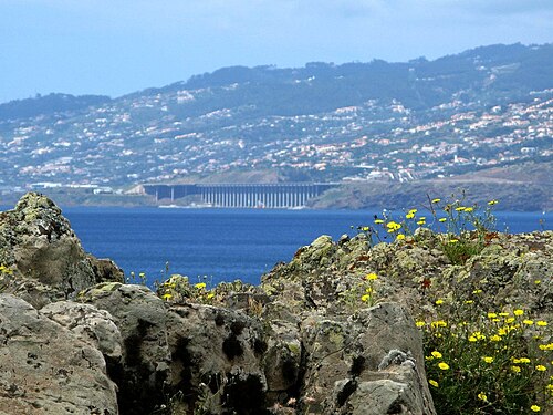
25 m
©Ponta de São Lourenço, near the Casa do Sardinha (end of the PR8)
The only authorized camping spot on the São Lourenço peninsula, at the end of the PR8 (4 km on foot from Baía d'Abra)…
25 m
Machico, Estrada de São Roque (Machico bay)
4-star hotel on the bay, about 150 m from Machico beach and a few minutes' walk from the center. The biggest hotel in…
10 m
Machico, Rua da Amargura 2 (center)
Small family-run 2-star hotel (formerly Residencial Amparo) right in the center of Machico, near the beach and the…
55 m
Machico, Sítio da Graça, Caminho Municipal do Larano 110 · Madeira Crossing km 0.5
Small 2-star hotel (formerly the Pérola de Machico guesthouse) in the residential Graça neighborhood, on the Larano…
10 m
Machico, Praceta 25 de Abril 34 (center)
3-star boutique hotel in the heart of Machico, about 200 m from the sandy beach. A well-placed mid-range option for…
15 m
Porto da Cruz, Casas Próximas, Rua Dr. João Abel de Freitas (seafront)
Small 2-star hotel with 12 rooms on the Porto da Cruz seafront, facing the Penha d'Águia. The village is about 2.5 km…
15 m
Porto da Cruz, Rua da Praia 23/25, Sítio das Casas Próximas (promenade)
2-star hotel on the Porto da Cruz promenade, about a hundred meters from Alagoa beach. An alternative to the Costa…
15 m
Porto da Cruz, Casas Próximas, Rua Dr. João Abel de Freitas 20 (center)
Private hostel two minutes from Porto da Cruz beach, with dormitories and one double room. The cheapest option in the…
290 m
Porto da Cruz, Sítio do Folhadal, Caminho da Cruz da Guarda 27 (on the heights) · Madeira Crossing km 14.4
17th-century rural manor house with a chapel, converted into a 5-room guesthouse, on the Folhadal hill between Porto…
690 m
Santo da Serra, Estrada da Fonte de Santo António 61, Casais Próximos
Small organic agritourism farm on the Santo da Serra plateau, a few hundred meters from the golf course. Simple…
690 m
Santo da Serra, Sítio dos Casais Próximos (near the golf course)
4-star hotel in a former Madeiran manor house next to the Santo da Serra golf course, fully renovated and reopened on…
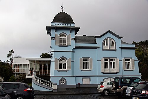
680 m
©Santo António da Serra, Sítio dos Casais Próximos
Small 4-star boutique hotel (21 rooms and one suite) in a 1920 manor house surrounded by gardens, near the Santo da…
690 m
Santo António da Serra, Estrada Santo António da Serra 398
Country inn (3-star rural hotel) in the heart of the Santo da Serra plateau, with a traditional-cuisine restaurant and…
965 m
Chão do Pasto, above Santo António da Serra (tarmac road)
Forest area reachable by car above Santo da Serra, about 2.4 km as the crow flies from the route (Portela–Lamaceiros…
1,290 m
Terreiros, above Camacha (tarmac road) · Madeira Crossing km 21.7
High-altitude clearing reachable by road, about 1.5 km as the crow flies south of the Levada do Furado section of the…
1,230 m
Chão das Feiteiras, plateau north of Poiso (dirt track) · Madeira Crossing km 24.4
Grassy plateau surrounded by cedars, right by the route at the end of the climb from the Levada do Furado. It is the…
1,355 m
Cruzes de Baixo, above Camacha (tarmac road) · Madeira Crossing km 25.1
Zone with no facilities (apart from a parking lot) by the road, about 850 m south-east of the route between Chão das…
1,125 m
Carreiras, Estrada das Carreiras above Camacha (tarmac road)
Forest area reachable by car, about 2 km south of Poiso and the route. No facilities apart from a parking lot…
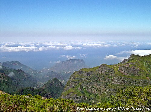
1,300 m
©SurroundingsMontado do Pereiro, near the north gate, on the ER103 south of Poiso · Madeira Crossing km 26.2
IFCN forest house, rented as a whole (8 people maximum), in the Montado do Pereiro park, about 600 m south of Poiso…
1,200 m
Parque Ecológico do Funchal, Estrada Regional 103 n.º 259 (between Poiso and Monte) · Madeira Crossing km 26.9
Nine small eco-shelters in the Parque Ecológico do Funchal, by the ER103, about 1.4 km south-west of Poiso. They are…
925 m
©Ribeiro Frio, forest park (access on foot) · Madeira Crossing km 24
Small zone reachable only on foot near the hamlet of Ribeiro Frio, about 700 m from the route. The hamlet has…
Ribeiro Frio (Entre Águas), on the ER103 · Madeira Crossing km 24.2
Small country cottages by the road in the hamlet of Ribeiro Frio, about 500 m from the route. They lie between the…