
This plan follows the six stages of our guide, built around the official camping zones: Chão das Feiteiras, Pico Ruivo, Chão dos Louros (near Encumeada), Fontes Ruivas and Fanal. Days range from 10 to 25 km, with a long first stage and a final climb of nearly 1,000 m.
It is the most balanced pace for enjoying the highlights of the crossing: the Larano cliff path, sunrise on Pico Ruivo, the Levada do Norte tunnels and Fanal forest in the mist.
As of November 9, 2026, two sections are closed (PR10 on stage 1, PR1.3 between Boca das Torrinhas and Encumeada on stage 3). See the plan adapted to the closures.
Day-by-day plan
| Day | Leg | Distance | Ascent | Descent | Walking time | Overnight |
|---|---|---|---|---|---|---|
| Poço do Gil → Chão das Feiteiras Via Boca do Risco, Larano, Portela and the Levada do Furado (closed as of November 9, 2026). | 24.4 km | 1,720 m | 730 m | 8h45 – 10h15 | Chão das Feiteiras and Poiso | |
| Chão das Feiteiras → Pico Ruivo Via Poiso, Pico do Areeiro and the PR1. | 13.5 km | 990 m | 440 m | 5h – 5h45 | Pico Ruivo | |
| Pico Ruivo → Encumeada Night at the Chão dos Louros camping zone (0.7 km) or at the hotel on the pass. | 9.9 km | 350 m | 1,140 m | 4h – 4h45 | Encumeada and Chão dos Louros | |
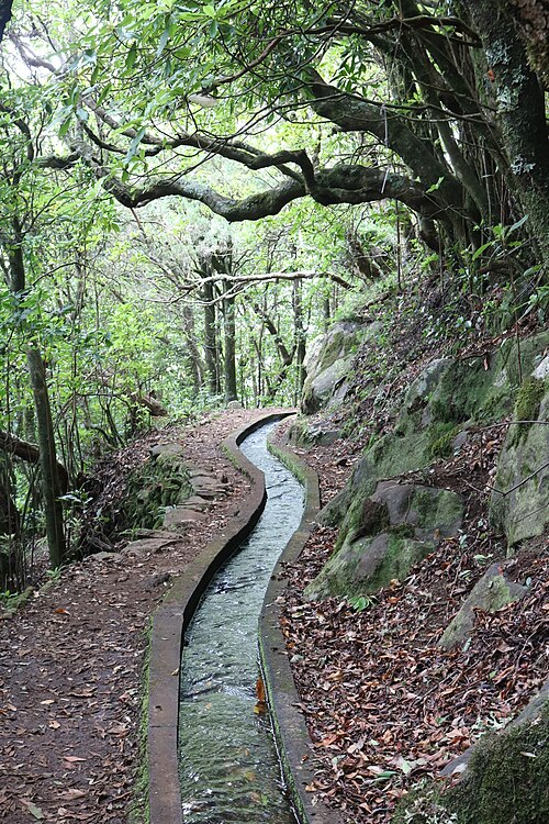
| Encumeada → Fontes Ruivas Levada do Norte tunnels: headlamp. | 14.6 km | 1,350 m | 820 m | 6h45 – 8h | Bica da Cana, Estanquinhos and Fontes Ruivas | |
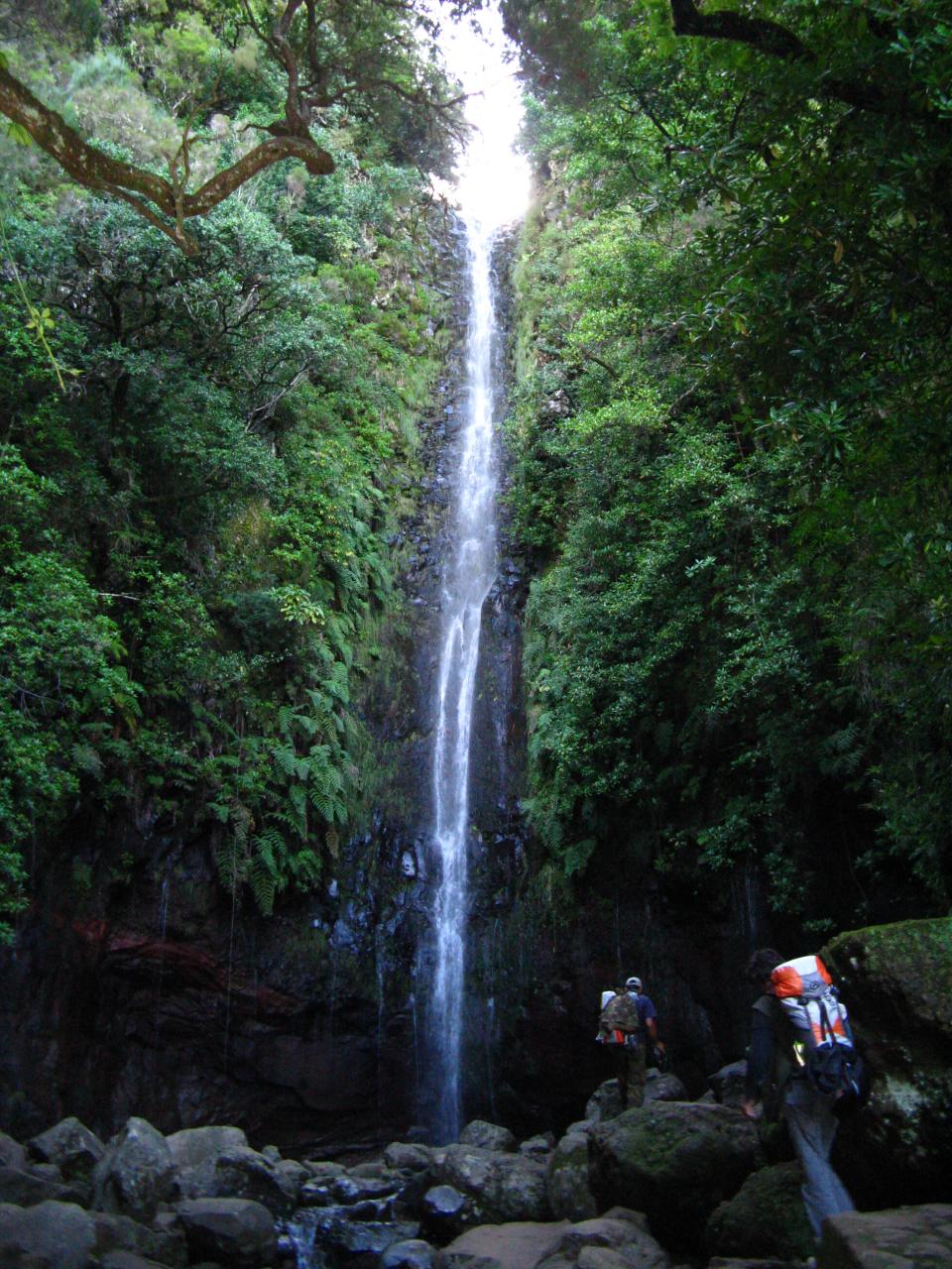
| Fontes Ruivas → Fanal Via the Paul da Serra and 25 Fontes. | 17.1 km | 410 m | 770 m | 4h45 – 5h45 | Fanal | |
| Fanal → Ribeira da Janela | 10.6 km | 130 m | 1,250 m | 3h30 – 4h15 | Ribeira da Janela | |
| Total | 90 km | 4,950 m | 5,150 m | |||
Distances and ascent calculated on the waymarked main route; “≈” marks a day on a variant (estimated values). Walking times according to the DIN 33466 standard, without breaks.
The itinerary on the map
one color per dayD1overnight stopvariants
Build your own day-by-day plan, then export it as a GPX file.
Customize this itineraryTips for this itinerary
- Book every PR trail and every camping night on SIMplifica (€5 per tent per night).
- No water at several camping zones (Poiso, Caramujo, Estanquinhos, Fontes Ruivas): fill up before you arrive.
- Keep a spare day for the weather: wind and rain sometimes close the PR1 ridge.
The stages in detail
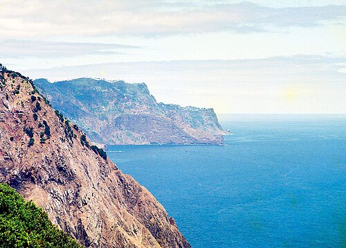 1
Poço do Gil Chão das Feiteiras
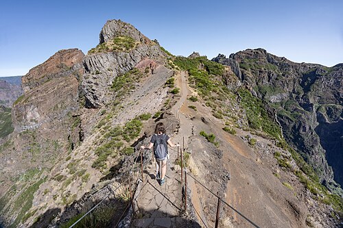 2
Chão das Feiteiras Pico Ruivo
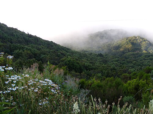 3
Pico Ruivo Encumeada
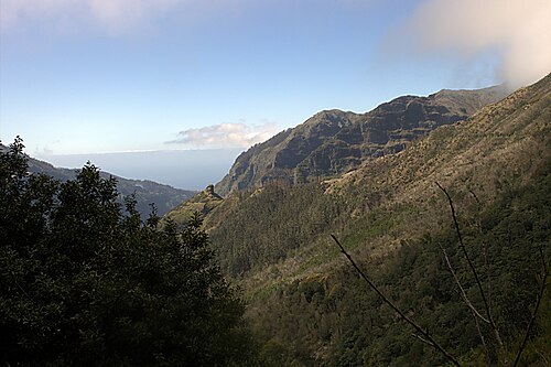 4
Encumeada Fontes Ruivas
 5
Fontes Ruivas Fanal
 6
Fanal Ribeira da Janela